INTRODUCTION:-
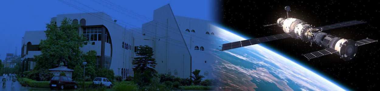
Under the aegis of National Natural resource Management System (NNRMS), Bihar Remote Sensing Applications Centre (BIRSAC) was established in 1985. It is located at IGSC-Planetarium building at Patna. It is under the administrative control of the department of Science & Technology, Govt. of Bihar. The activities of this centre are run by the rules and provisions of an autonomous society registered organization named as Bihar Council on Science and Technology (BCST).
OBJECTIVES:
- To make inventory of natural resources of the state harnessing space science using remote sensing & GIS
- To avail spatial data for the development and planning of the
- To create databases at the level of State, Block, Village and ultimately parcel
- To cater the need and requirement of spatial data for the disaster
- Above all human welfare is the prime objective using remote sensing and GIS tecniques
MISSION:
Mission of the organisation is to create natural & socio-economic datbase at village parcel level using Space Science for the development and planning pupose of the entire state of Bihar
BIRSAC WEB HOSTING CONTENT :- Click here & download
BIRSAC ONGOING PROJECT: Click here & download